Roads & Highways

Let us help you deliver your next road and highway project on time, safely and as efficiently as possible.

Deliver the most accurate and complete geospatial data for roads & highways

Engineering surveyors can help the planning, designing and building roads & highway projects as safely and efficiently as possible with Leica Geosystems solutions.

Our complete portfolio of surveying solutions, machine control systems and construction positioning solutions ensure safety, help you be faster, collaborate in the cloud, digitalise workflows and deliver the most accurate geospatial data in every phase of the construction lifecycle of highways and roads.

Discover the solutions at each phase of the construction life cycle and let our solutions increase your efficiency.

Construction lifecycle phases


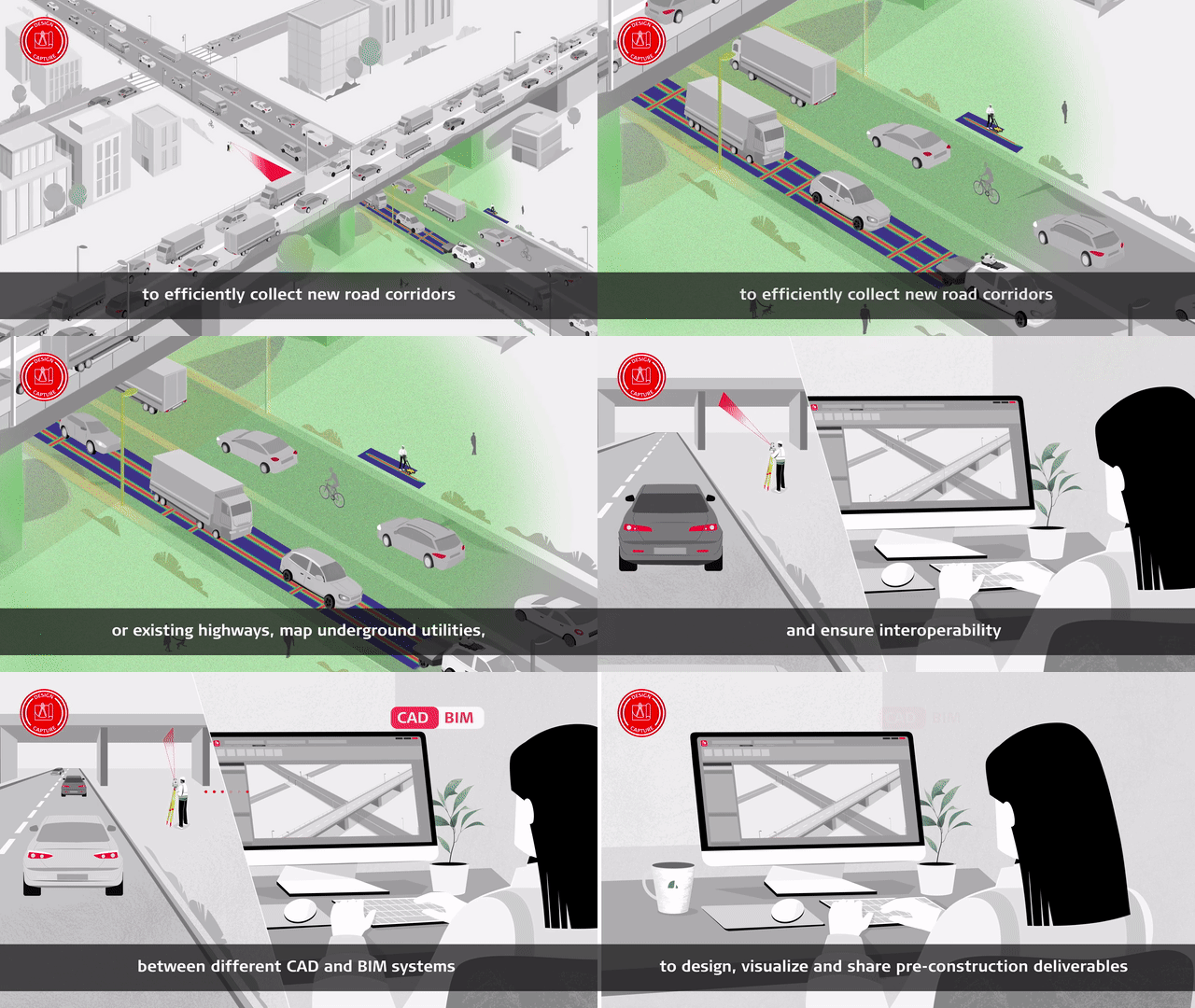
Design & Capture

Start projects the right way with the most accurate models. Determine site conditions for new and existing highways and roads and ensure safe excavation through mapping buried utilities.

Construct & Build

Optimise your design-to-field workflow to be complete and seamless with minimum delays. Our solutions are compliant with the latest BIM/IFC standards, enabling proper integration of the design into the as-built process.

Operate & Maintain

Optimise maintenance using the best-in-class monitoring and reality capture solutions with the highest resolutions and fastest collection and update rates. All of this is supported by a world-class suite of data management software.

In your own words


Soluciones topográficas

Independientemente de lo compleja que sea su tarea, existe una solución disponible dentro de nuestra cartera de productos de medición, posicionamiento, visualización y colaboración para ayudarle a tener éxito y ser más eficiente.

Haga crecer su negocio

Descubra cómo adoptando la digitalización y la tecnología puede ayudar a su empresa a crear nuevas oportunidades, a ser competitivo y a mejorar su productividad.

Surveying Solutions

Regardless of how complex your task is, a solution is available within our diverse measuring, positioning, visualising and collaborating portfolio to help you succeed and be more efficient.

Mejore sus habilidades

Adquiera habilidades para ser más eficiente y reaccionar ante las oportunidades de negocio. Incremente su potencial para ofrecer a sus clientes servicios de más calidad, más especializados y más rápidos.