Latest surveying technology to boost your productivity
Explore the latest technology that helps surveyors be faster and innovate workflows to meet client’s needs with fewer resources and outstanding quality.

Being at the forefront of innovation goes beyond introducing new technology. Our commitment to innovation ensures the latest technologies are easily deployed to ensure outstanding product performance and quality.
Measure What You See
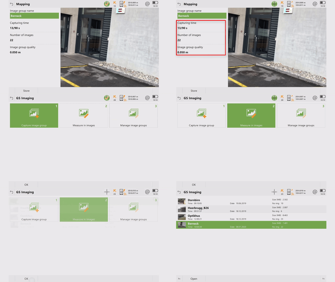
The Leica GS18 I GNSS RTK rover with Visual Positioning, allows users to capture points of interest from a distance and measure points from the images in the field or the office. Visual Positioning technology (sensor fusion combining GNSS, IMU and a camera), allows users to reach previously inaccessible or obstructed points safely and efficiently. In addition to visual point positioning, the GS18 I inherits all the functionalities of a GS18 T, including the ability to map and stake out points with either tilted or levelled pole.
GS18 I users can use less time on site and continue measuring points with Leica Infinity software in the office. If new measurement needs arise, surveyors can measure additional points from the captured images. The GS18 I works with Leica Captivate field software for image capturing, on-site point measurement and quality assurance in the field. Discover how the GS18 I can make you more efficient.
Keep your competitive monitoring Edge
Surveyors are able to measure structural movements with millimetre-level accuracy, helping engineering companies and contractors face challenges by monitoring ever-changing structures and environments. Monitoring technology is constantly developing – it is becoming quicker and better. The new Leica GeoMoS Edge monitoring software component embedded in the communication device ensures 24/7 reliability with complete measurement data through autonomous sensor control in the field. Even in case of communication disruption, measurements are taken according to schedule and temporarily stored locally, thus preventing data gaps.


