Roads & Highways

Let us help you deliver your next road and highway project on time, safely and as efficiently as possible.

Deliver the most accurate and complete geospatial data for roads & highways

Engineering surveyors can help the planning, designing and building roads & highway projects as safely and efficiently as possible with Leica Geosystems solutions.

Our complete portfolio of surveying solutions, machine control systems and construction positioning solutions ensure safety, help you be faster, collaborate in the cloud, digitalise workflows and deliver the most accurate geospatial data in every phase of the construction lifecycle of highways and roads.

Discover the solutions at each phase of the construction life cycle and let our solutions increase your efficiency.

Construction lifecycle phases


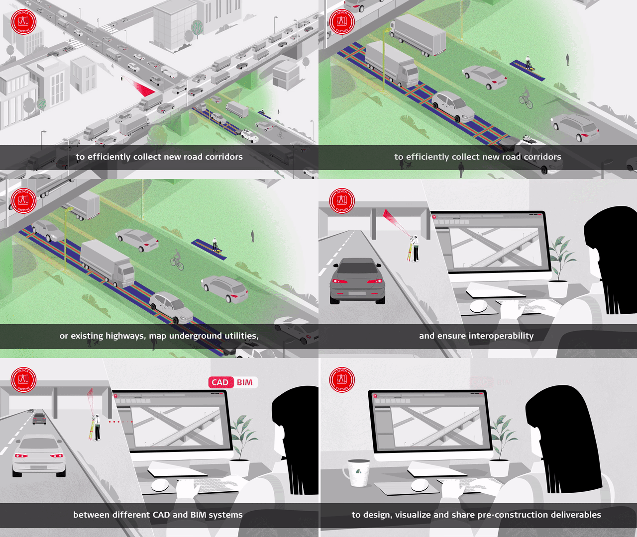
Design & Capture

Start projects the right way with the most accurate models. Determine site conditions for new and existing highways and roads and ensure safe excavation through mapping buried utilities.

Construct & Build

Optimise your design-to-field workflow to be complete and seamless with minimum delays. Our solutions are compliant with the latest BIM/IFC standards, enabling proper integration of the design into the as-built process.

Operate & Maintain

Optimise maintenance using the best-in-class monitoring and reality capture solutions with the highest resolutions and fastest collection and update rates. All of this is supported by a world-class suite of data management software.

In your own words


Landmeetoplossingen

Ongeacht hoe complex uw taak is, er is een oplossing beschikbaar binnen ons diverse portfolio voor meten, positioneren, visualiseren en samenwerken om u te helpen succesvol en efficiënter te zijn.

Laat uw bedrijf groeien

Ontdek hoe het omarmen van digitalisering met technologieën en processen uw bedrijf kan ondersteunen om nieuwe kansen te creëren, concurrerend te blijven en de productiviteit te verbeteren.

Surveying Solutions

Regardless of how complex your task is, a solution is available within our diverse measuring, positioning and visualising portfolio to help you collaborate, be more efficient and succeed.

Verbeter uw vaardigheden

Leer meer vaardigheden om efficiënter te zijn en op zakelijke kansen te reageren. Benut uw potentieel om uw klanten betere, snellere en meer gespecialiseerde diensten aan te bieden.