Leica Zeno 20
High-accuracy GIS handhelds support environmental impact assessments to evaluate how ecological features and functions may be impacted.


.jpg?sc_lang=da)
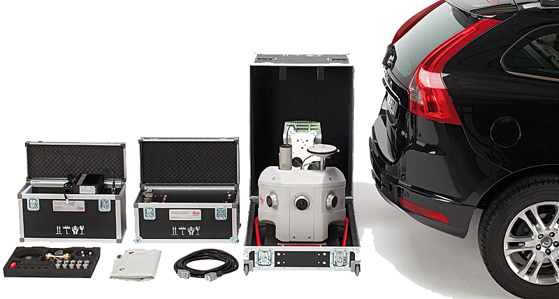
Introduktion af en ny dimension inden for reality capture og en ny arbejdsmetode for 3D-laserscanning.