Den beste totalstasjonen til alle landmålingsjobber
Hvorfor det er like viktig å velge riktig prisme som riktig instrument.
Du kan ikke ta nøyaktige målinger uten et prisme av god kvalitet. Selv om prismet har en relativt enkel oppgave i elektronisk avstandsmåling – å reflektere et signal – avhenger prismets evne til å utføre denne oppgaven av en rekke faktorer. Kvaliteten på materialene som er brukt og nøyaktigheten i produksjonen har enorm innvirkning på presisjonen og prismets evne til å motstå krevende forhold på et arbeidssted. Her skal vi se på hvordan reflektorene i originalt tilbehør fra Leica Geosystems blir laget, for å forklare hvorfor det er viktig å velge riktig prisme.
A tradition in pioneering total station innovation
For a century, Leica Geosystems has pioneered innovation in total stations. Through continued innovation to fuse technologies, leaps and bounds have been made in functionality and productivity. From the highest accuracy to standard accuracy, and from fully automated to manually operated, a total station is available for all applications. Over the years, measuring with a total station has progressed from measuring discrete points to measuring images and point clouds. With easy-to-use and yet powerful onboard software, and complementary office software, the total station is the most versatile and reliable survey instrument.
Total stations without limits
Never has the choice of total stations been so plentiful. From the highest end, the Leica TS60, the world’s most accurate total station
for the most demanding tasks; the Leica MS60 MultiStation, that scans 30,000 points per second whilst maintaining full total station
functionality; to the Leica TS16, the all-round total station with self-learning to automatically adjust to any environmental conditions
for best performance. Combined with a selection of field controllers with Leica Captivate field software, maximum productivity and
performance are guaranteed.
Deploy the best total station for every job
With a wide selection of total stations running Leica Captivate, it’s possible to deploy the best total station for the job without re-training personnel or changing workflows and dataflows. For the highest accuracy, deploy the Leica TS60; when a mixture of scanning and stake-out is needed, deploy the MS60 MultiStation;
and for standard one-person stake-out and pick-up use the Leica TS16. Complete flexibility,
together with the peace of mind that all data flows seamlessly into Leica Infinity office software, the decision is easy.
For times when a one-person operation is not necessary, the FlexLine Leica TS10 with Captivate is the perfect choice
No job is too big or small
Total stations with Leica Captivate offer unrivalled flexibility and performance. With the broadest selection of onboard apps, a function exists to complete every job with ease. With automated measurement assistance through self-learning that adapts to all environmental conditions, DynamicLock automatically locks onto moving prisms and AutoHeight measures the instrument height at a simple button press. To learn more about Captivate and the automated features of total stations, visit the online training material.
Always know where your instruments are with LOC8, our theft deterrence & location solution
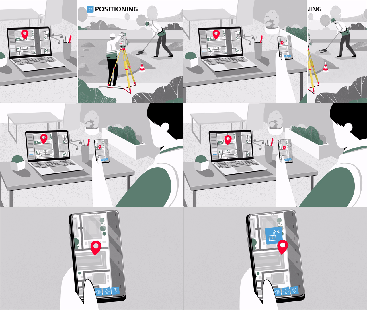
LOC8 is an excellent tracking, fleet management tool and theft deterrence solution. Being able to track, locate and lock your total stations allows you to recover stolen equipment and might be beneficial to get access to insurance coverage. It allows you to remotely lock and unlock total stations on demand, when required, with just a click of a button through your app or web account. Save cost and effort in the long run. Reduce theft-related downtime that would generally leave you without your equipment to carry out projects or even having to replace stolen instruments.
Finn den beste totalstasjonen for dine behov. Snakk med en av våre eksperter for å finne den beste løsningen for deg.


