UAV Systems
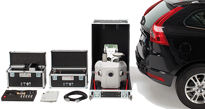
Leica Geosystems UAV systems are the ideal mapping solution for local mapping and inspection tasks of bridges, dams and where getting to is difficult.


.jpg?sc_lang=es-cl)
Presentamos una nueva dimensión en la captura de la realidad y una nueva forma de trabajar con el escaneo láser 3D.